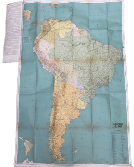
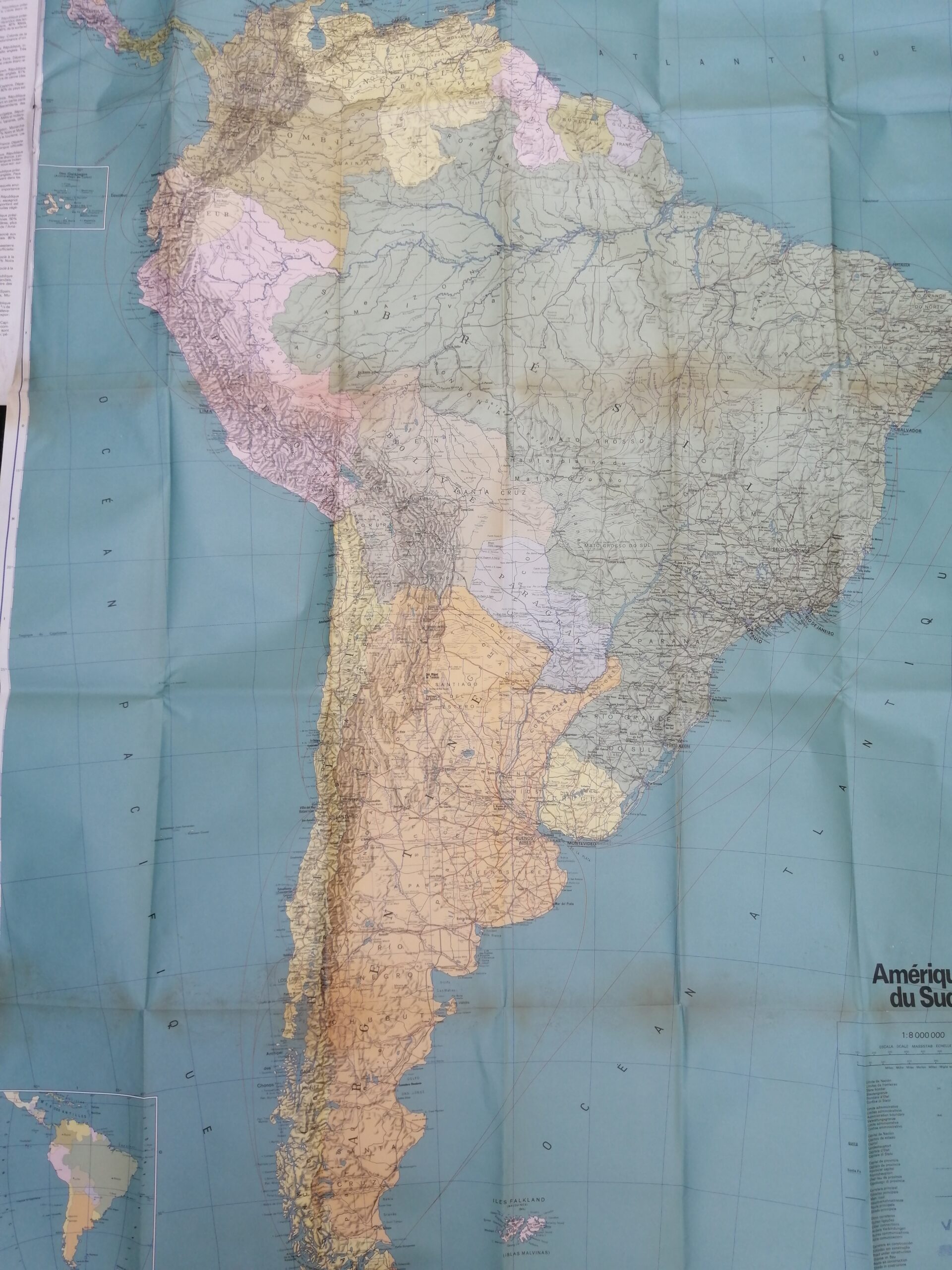
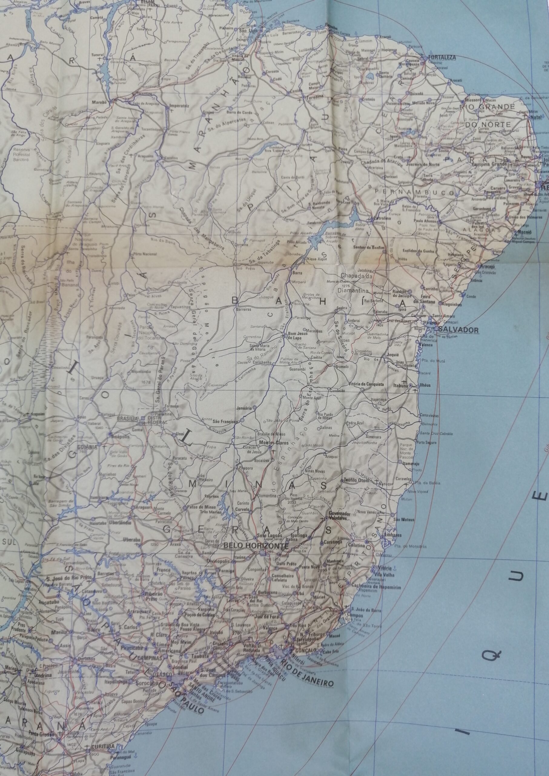
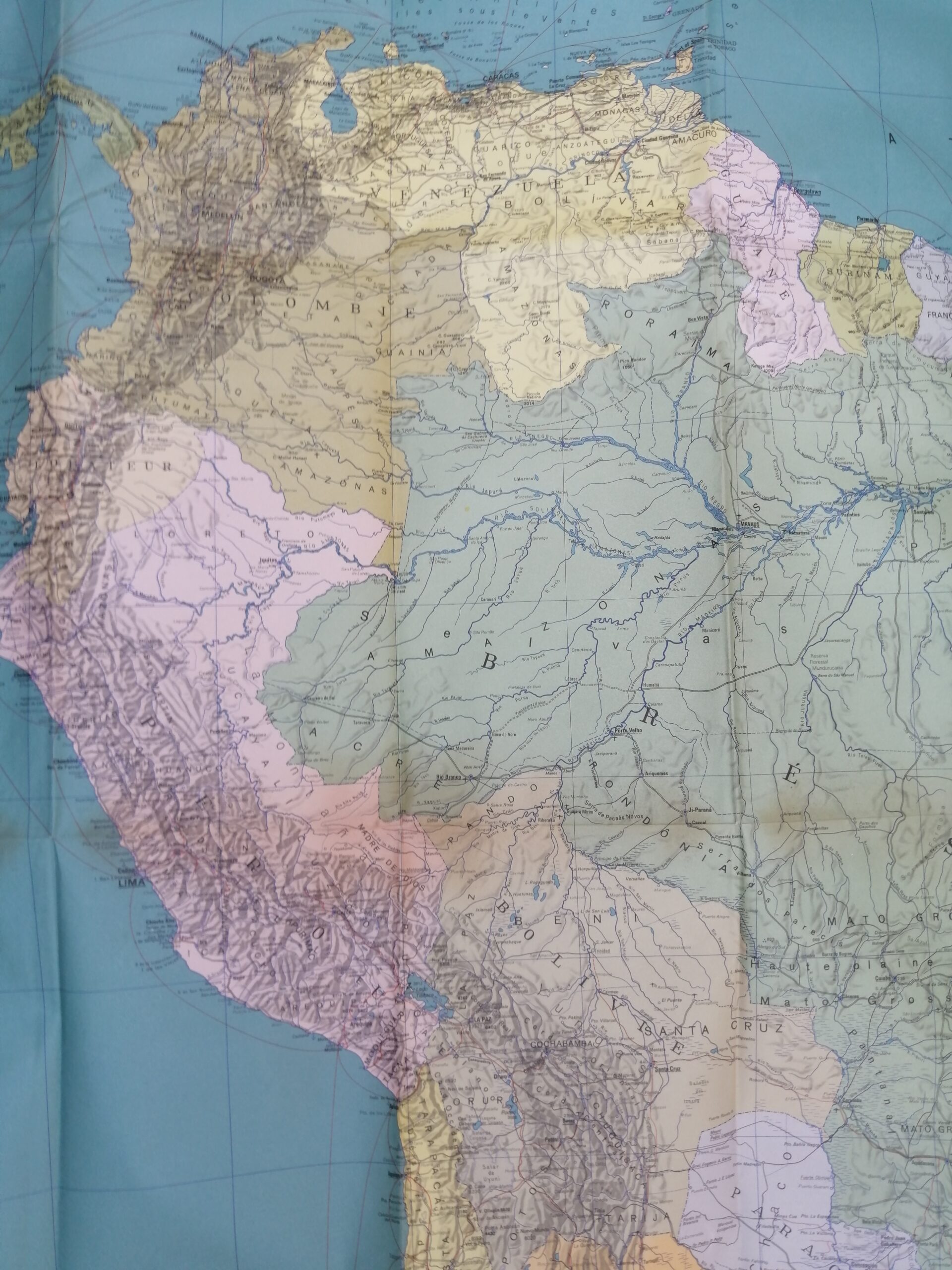
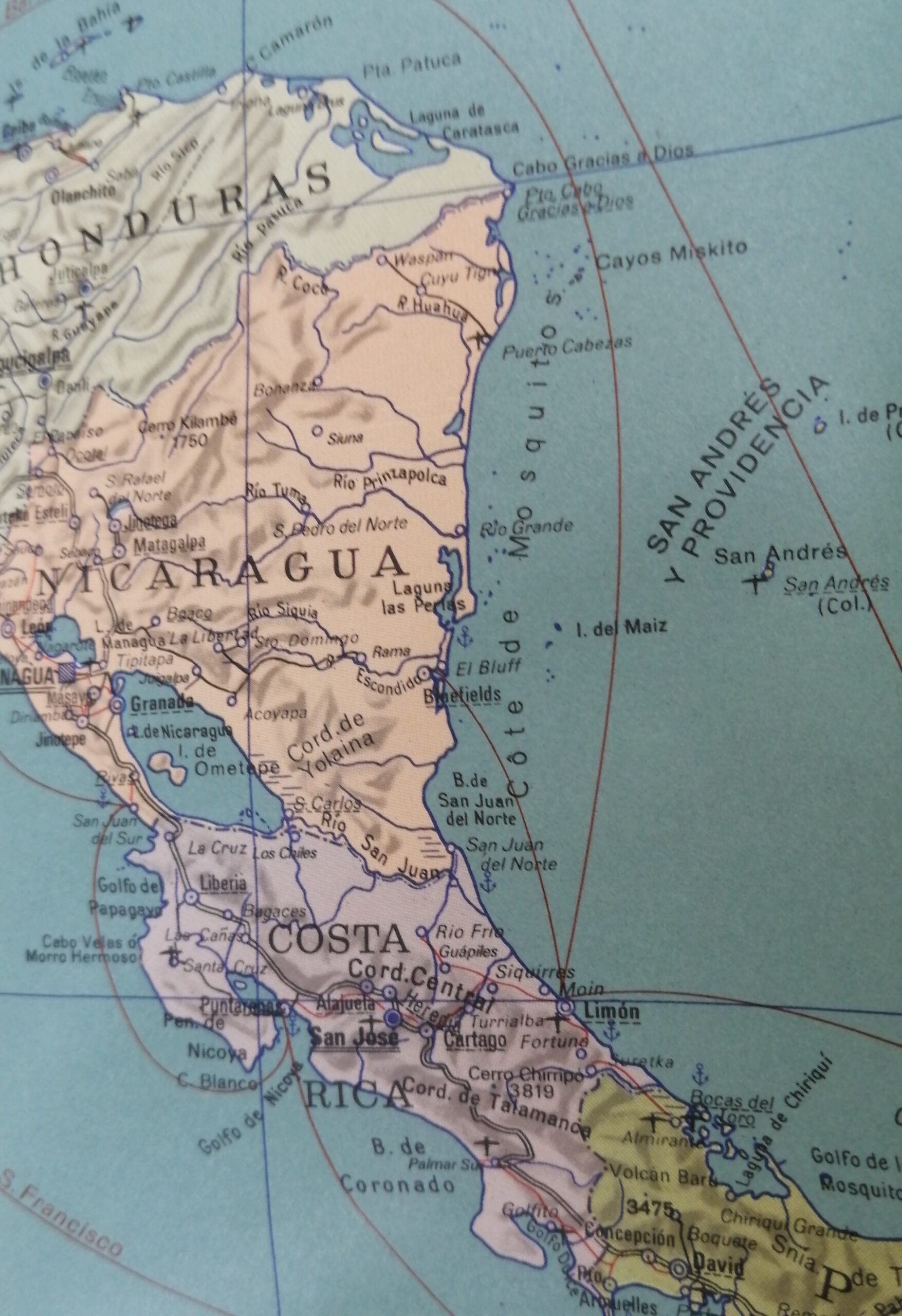

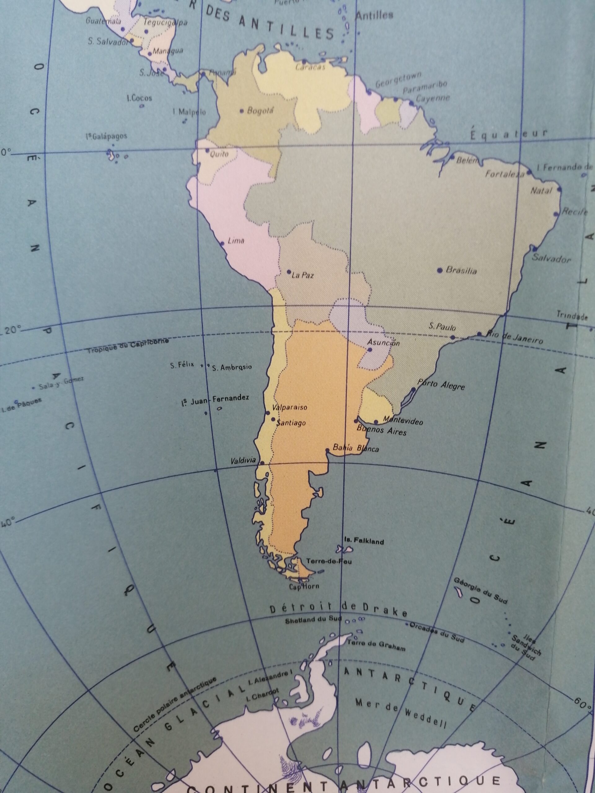
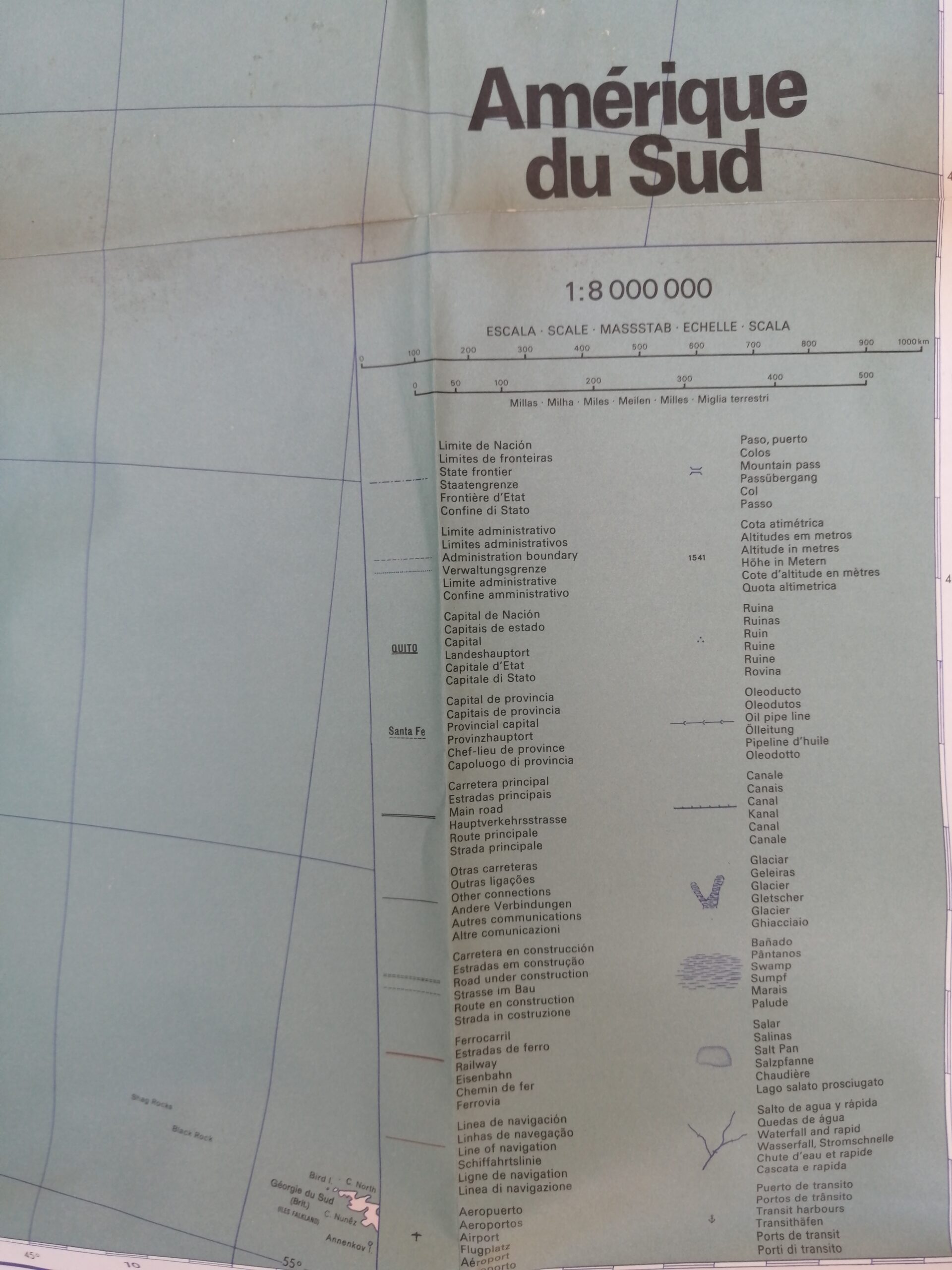

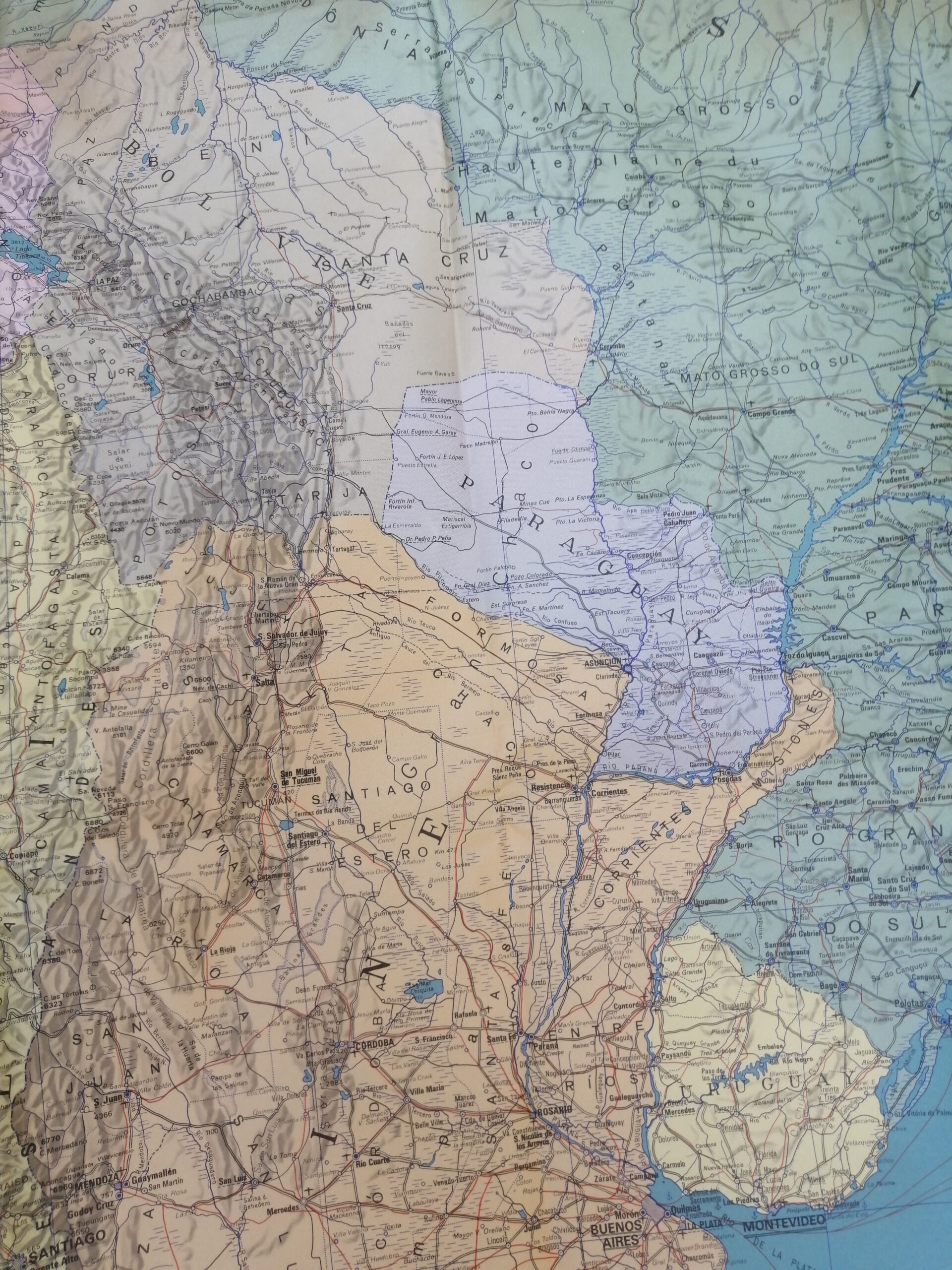


Description
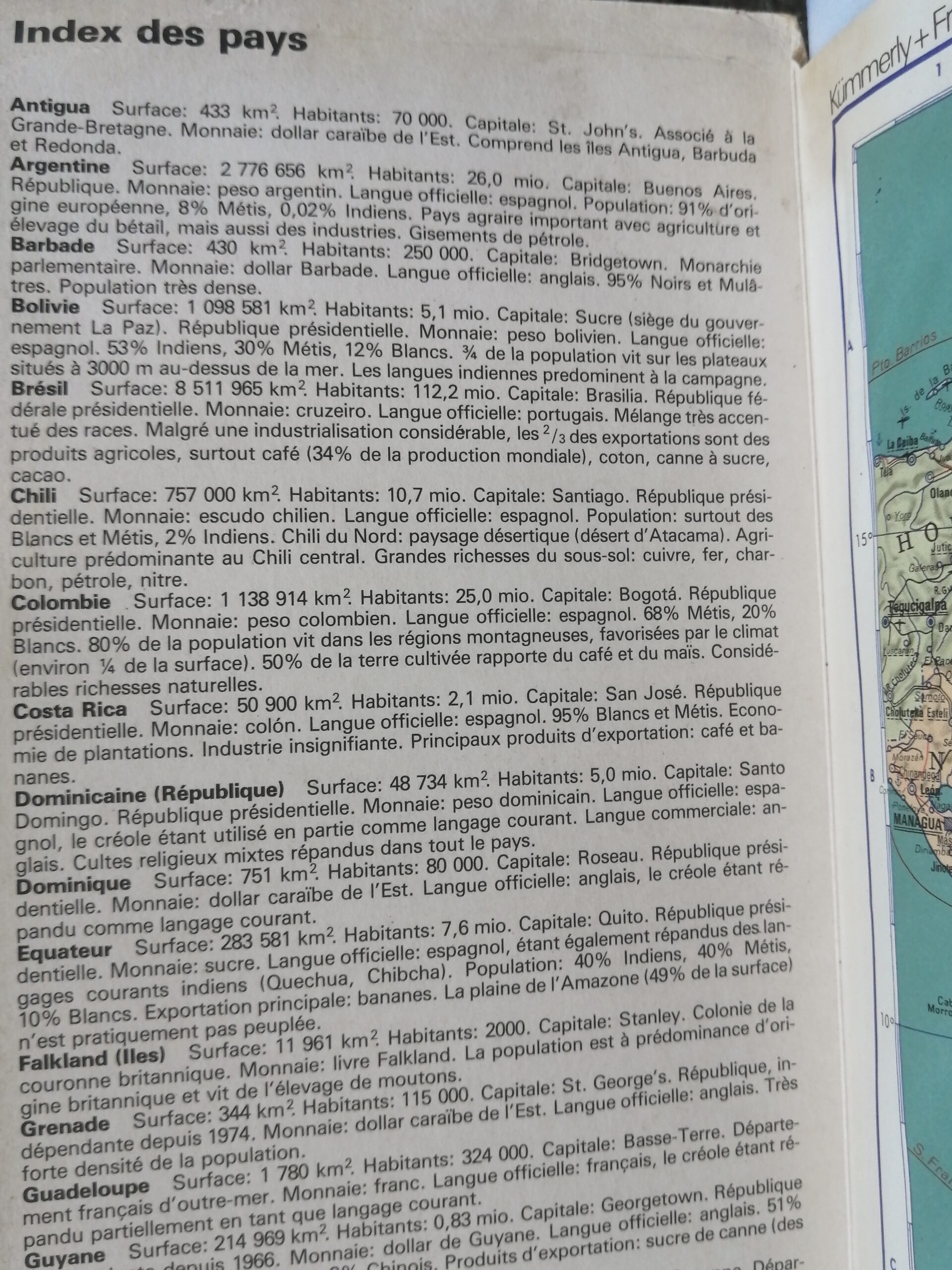
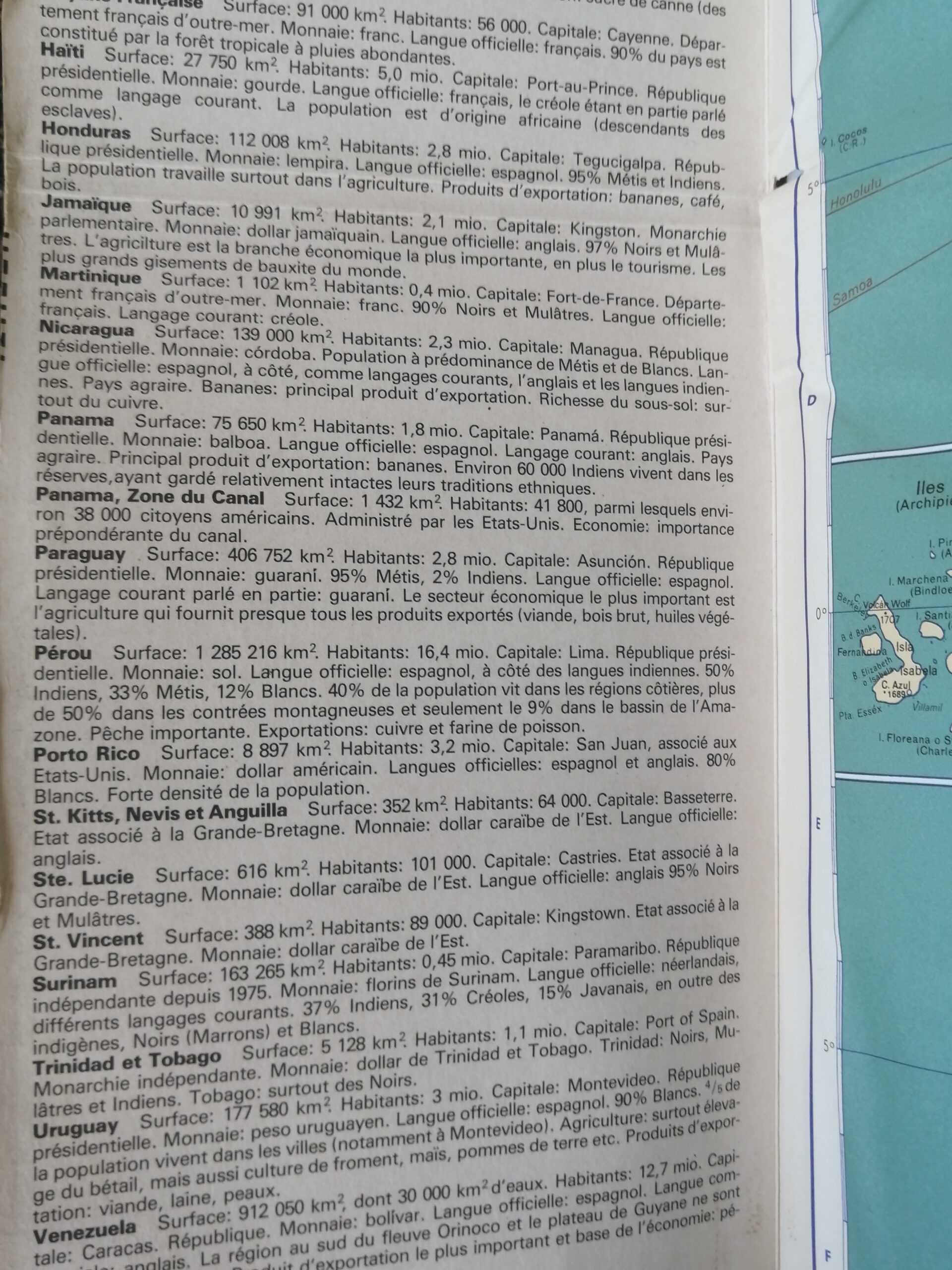
This beautifully preserved vintage fold-out map of South America, titled “Amérique du Sud” and printed in French, presents a detailed political overview of the continent. With crisp borders, pastel regional coloring, and clear geographic detail, this map covers all countries from Colombia and Brazil down to Argentina and Chile, including portions of Central America and Caribbean islands.
Likely published in the mid-20th century, this large-format wall map features an attached inset with French-language political or geographic commentary. Its elegant typography and color palette make it ideal for display, educational purposes, or vintage cartography collections.
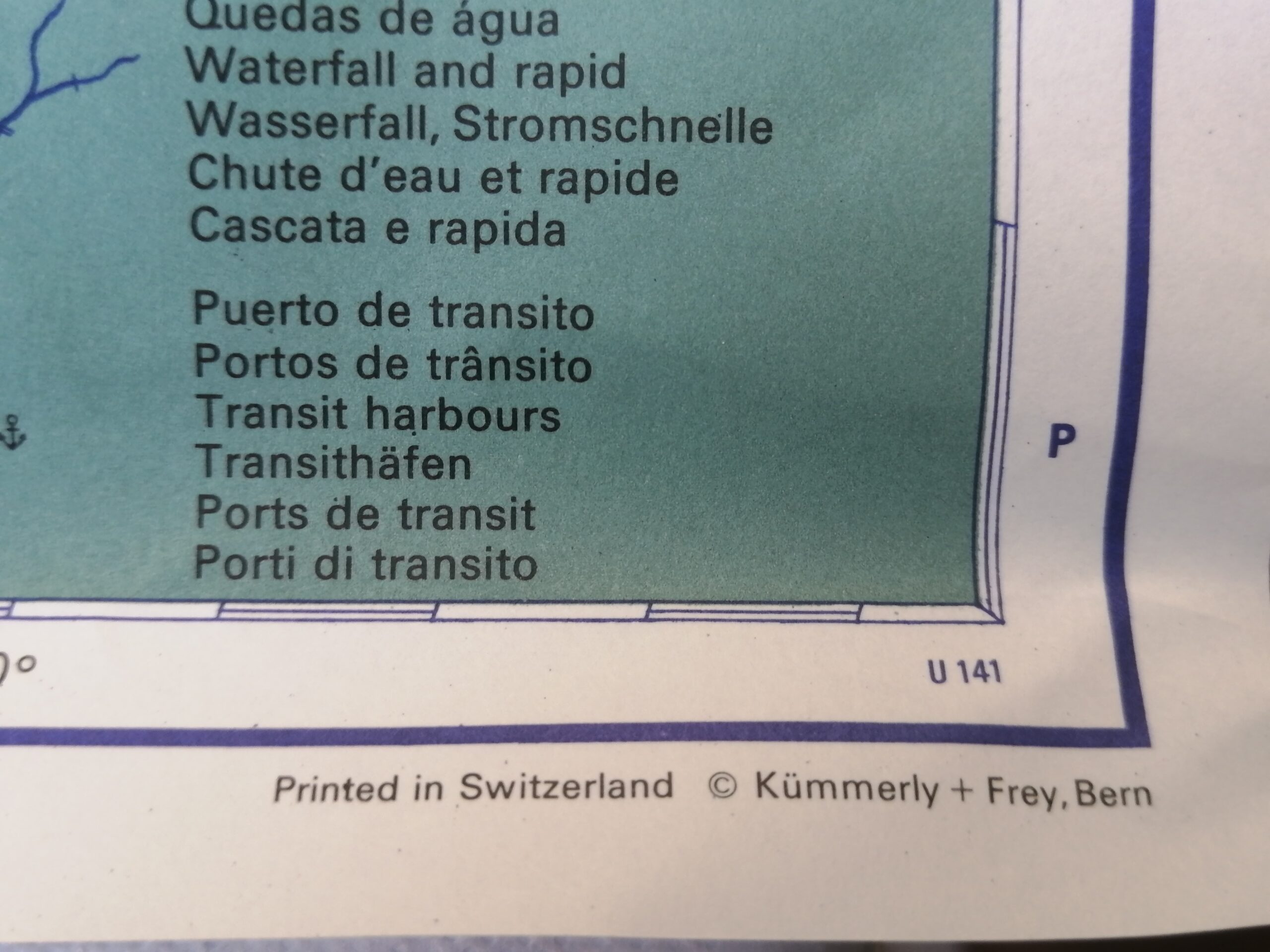
This map was printed in Switzerland by Kummerly + Frey, Bern.
Language: French
Scale: 1:8,000,000
Features: Political boundaries, major cities, road/rail networks, attached side panel
Condition: Very good vintage condition with visible fold marks and some age-related discoloration.
Era: Estimated Mid-20th Century
ISBN: 3-259-04252-0
A timeless addition to any world map collection or vintage educational decor.


Reviews
There are no reviews yet.