


Description
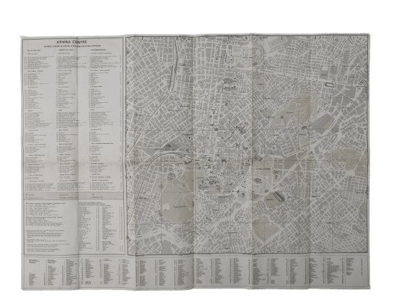
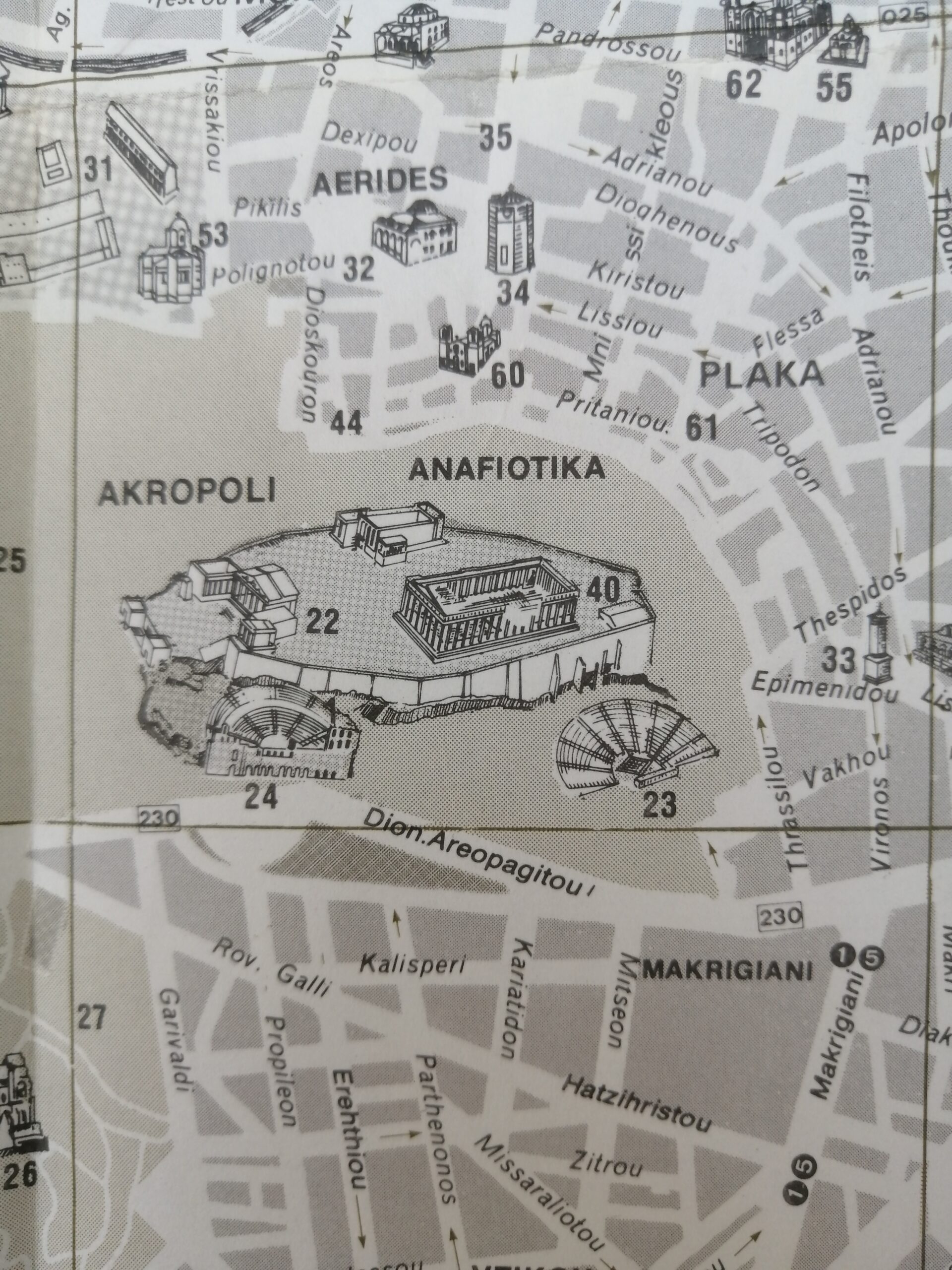
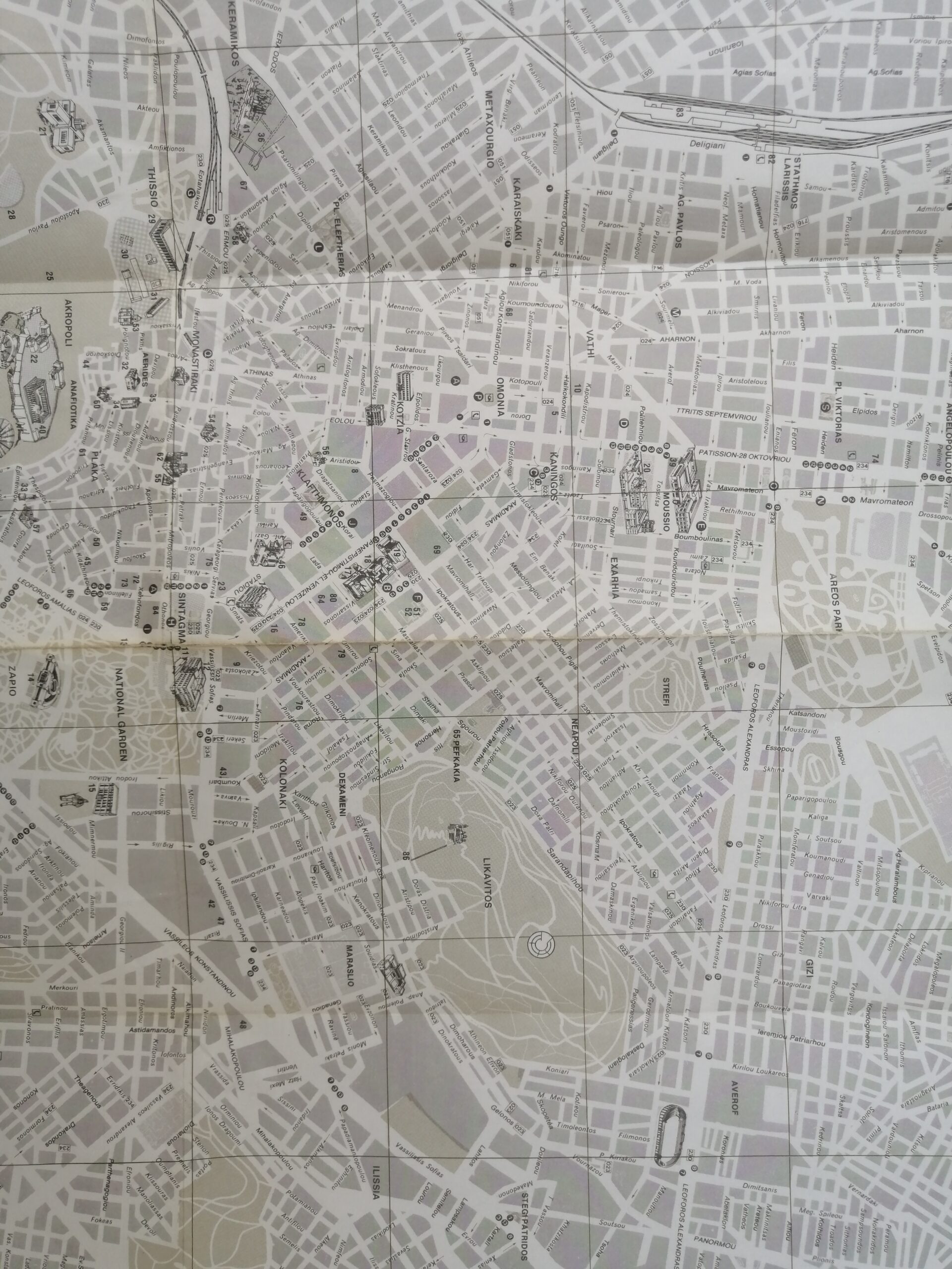
This original fold-out map titled “Greece Athina Attiki” offers a detailed mid-20th-century look at Athens and the broader Attica region. Printed in monochrome, the map includes thorough street-level coverage of central Athens, regional road connections, administrative divisions, and geographical landmarks—making it an invaluable reference for historians, collectors, and enthusiasts of classic cartography.
The map is enhanced with a decorative compass rose, a multilingual legend, and an index of important routes and districts. Its clean lines and informative layout reflect the utilitarian design of official tourism or transportation maps from the 1980s era.
Region Covered: Athens and greater Attica, Greece
Language: English and Greek (multilingual legend)
Format: Fold-out map
Features: City and regional roads, railways, landmarks, compass rose
Condition: Excellent vintage condition with some age toning along folds
Era: 1983
A rare find for collectors of vintage Greek ephemera, classic maps, or urban development documents


Reviews
There are no reviews yet.