


Description
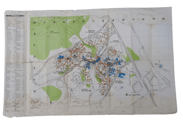
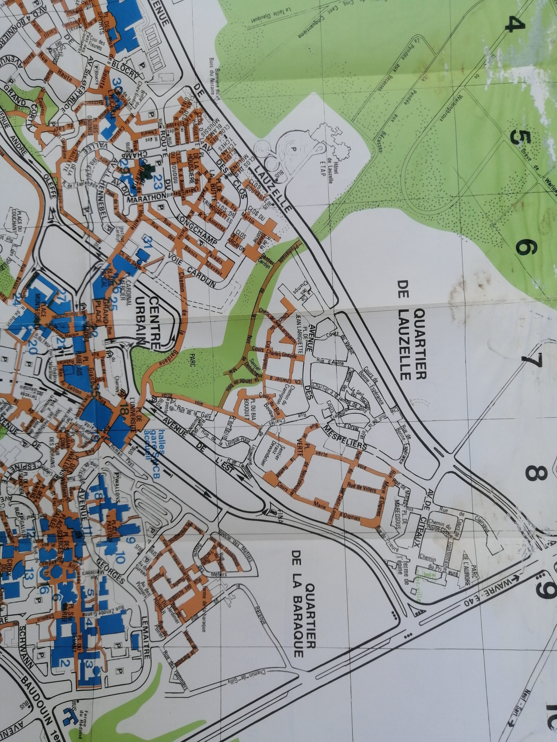
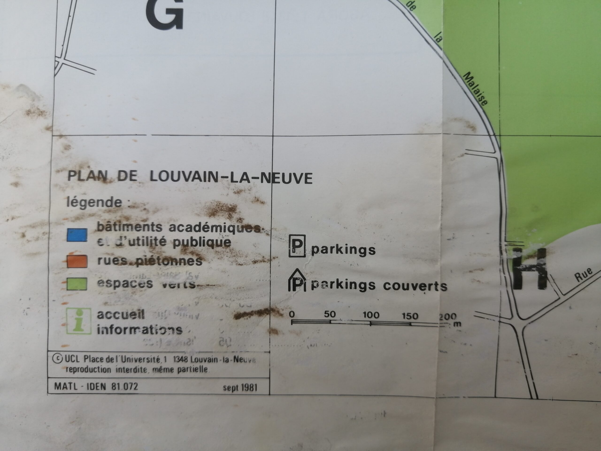
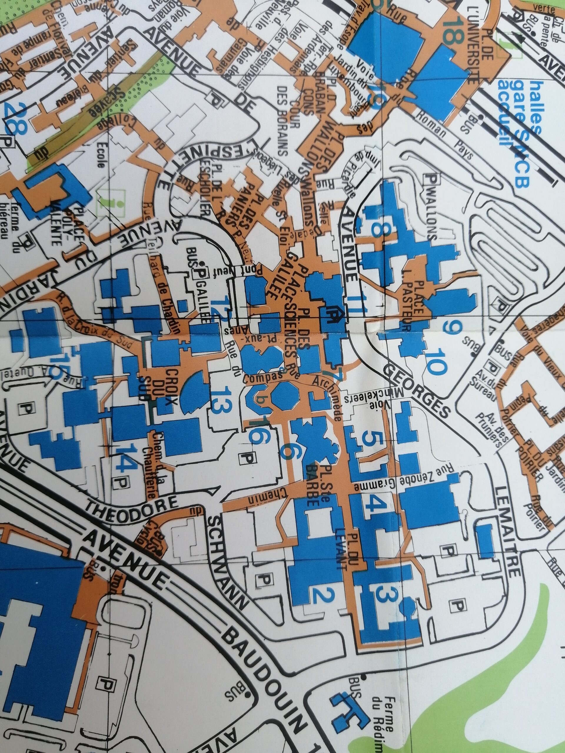
This original vintage fold-out map features a detailed architectural layout of Louvain-La-Neuve in Belgium. With its fine cartographic lines, grid references, and color-coded buildings (notably in red and orange), the map includes a full legend identifying various structures, administrative, residential, and service-related facilities.
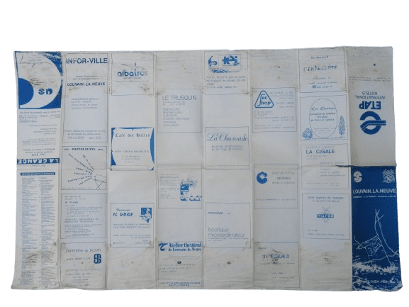
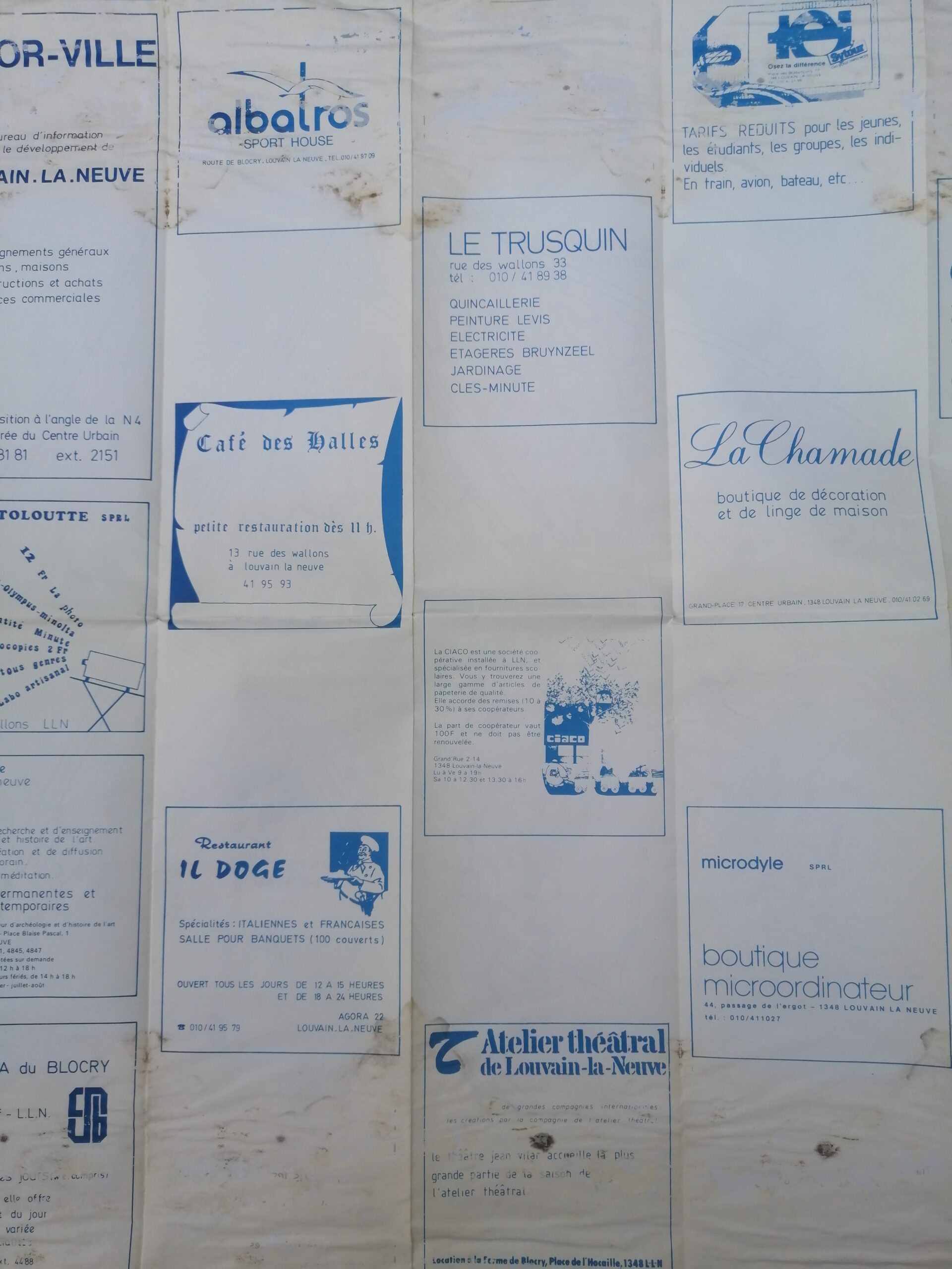
Printed in French and annotated with grid coordinates, this map offers a fascinating glimpse into mid-20th-century urban planning and European institutional design. Its fold marks and subtle wear add to its authentic archival charm. The back of the map promoting many type of businesses.
Language: French
Features: Fold lines, detailed legend, color-coded zones, grid system
Condition: Good condition with wear consistent with age and use
Era: 1981
A captivating piece for collectors of vintage cartography.


Reviews
There are no reviews yet.